Kusapin peninsula
Emmanuel Van Heygen
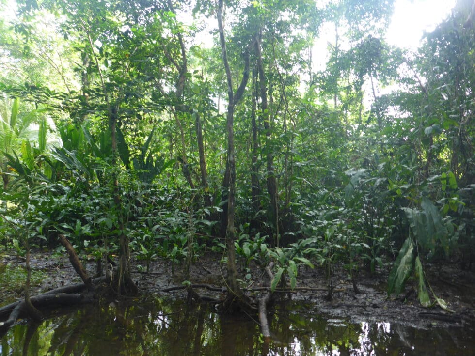
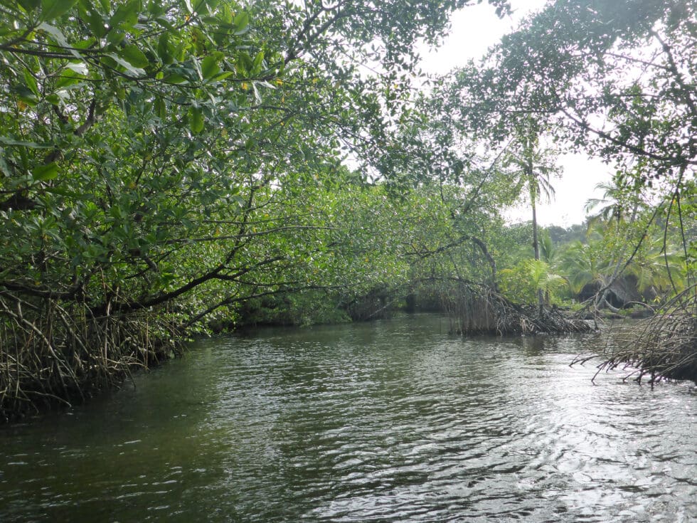
In the early morning the expedition headed for Kuspin Bay where the research vessel was protected from the ocean swell and strong winds. It had finally stopped raining after three days of continuous downpour. Upon arrival in this secluded bay, the team immediately went up into one of the many estuaries through the dense mangroves to explore the Kusapin peninsula.
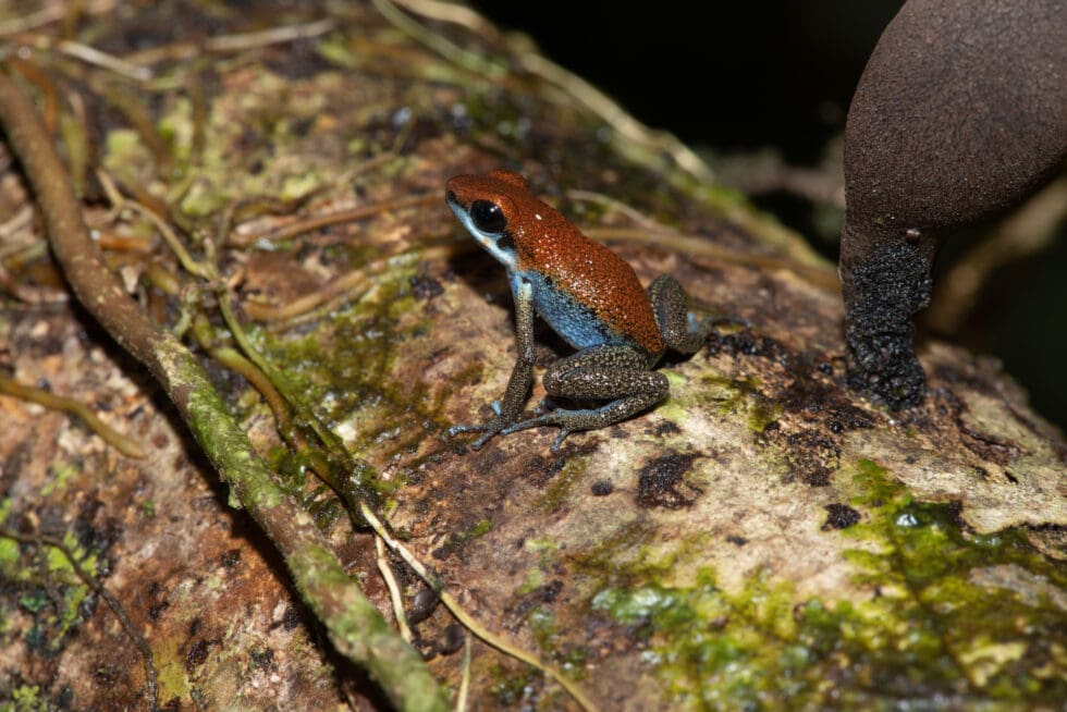
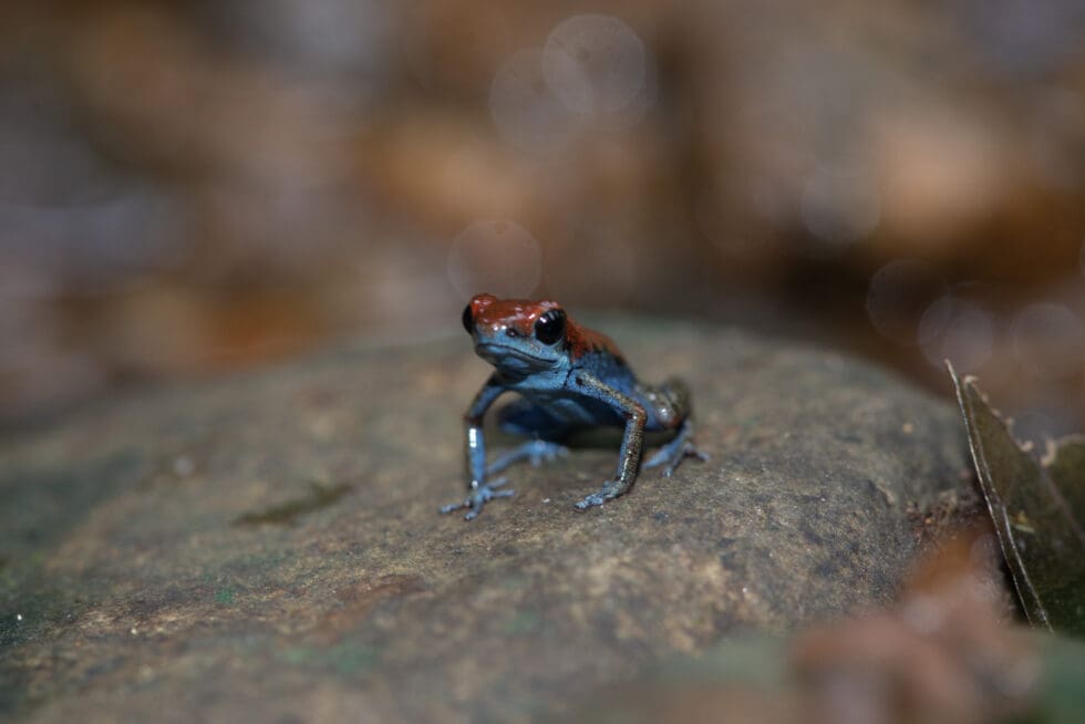
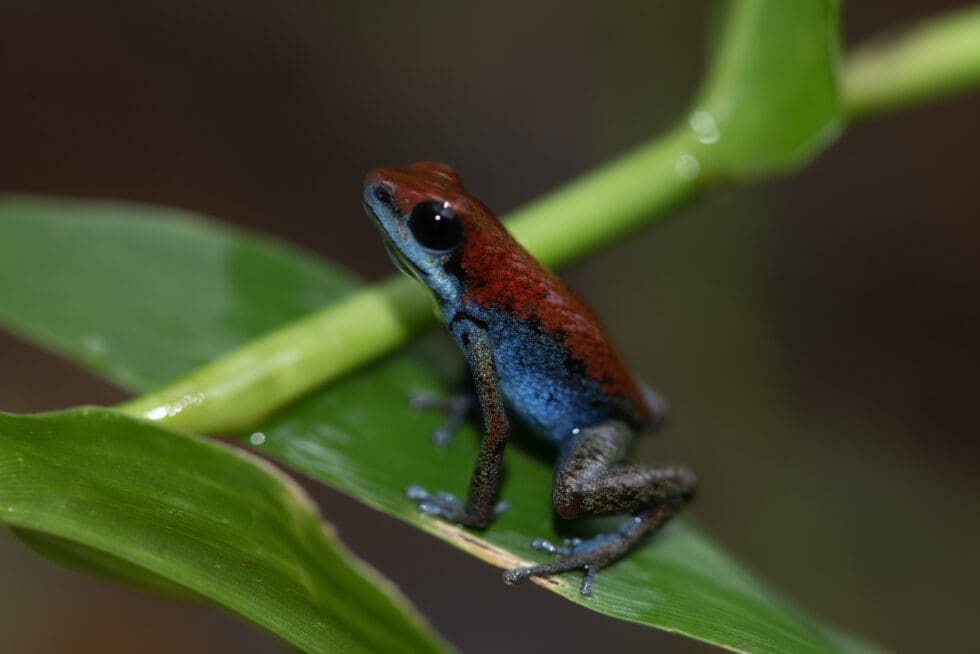
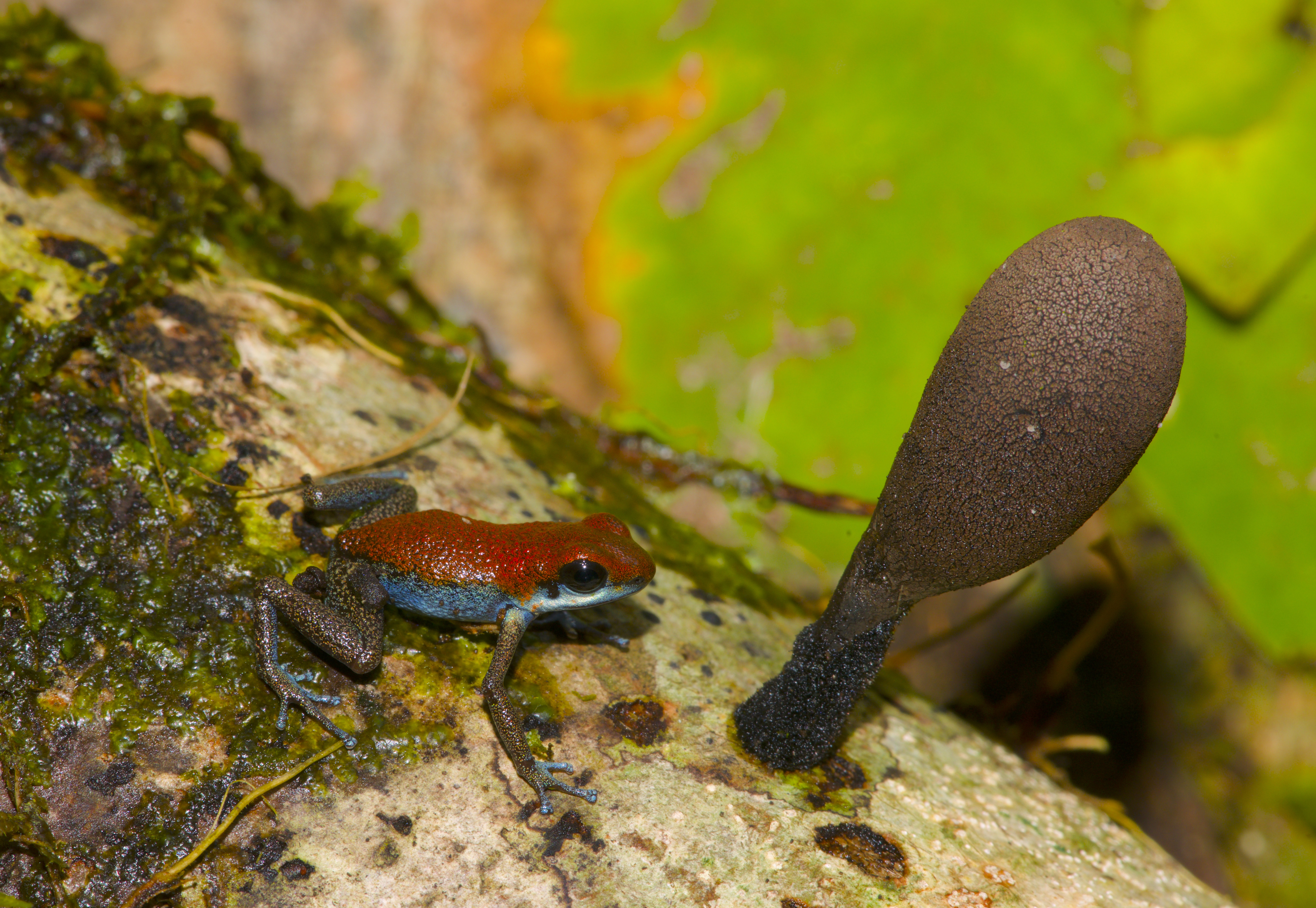
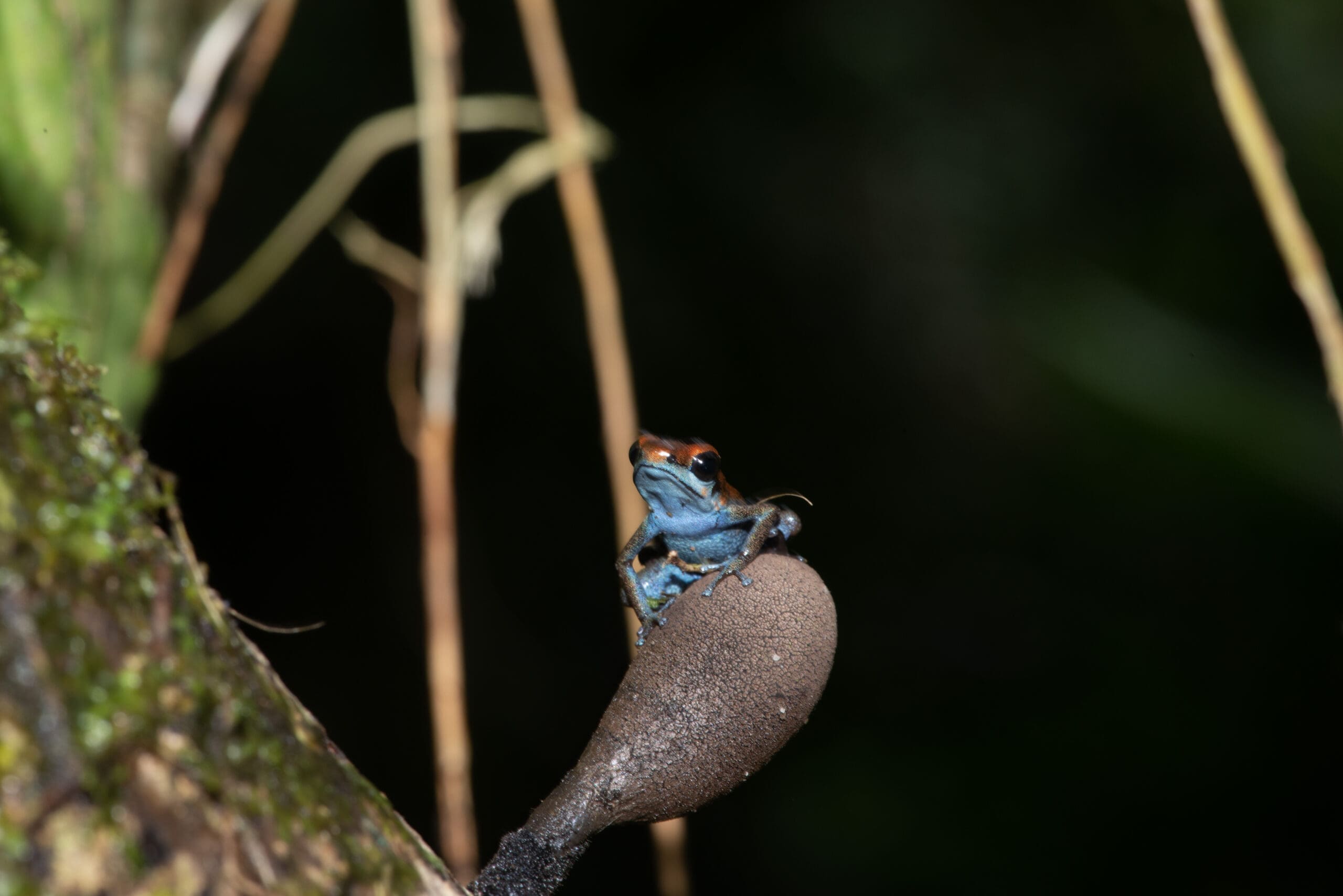
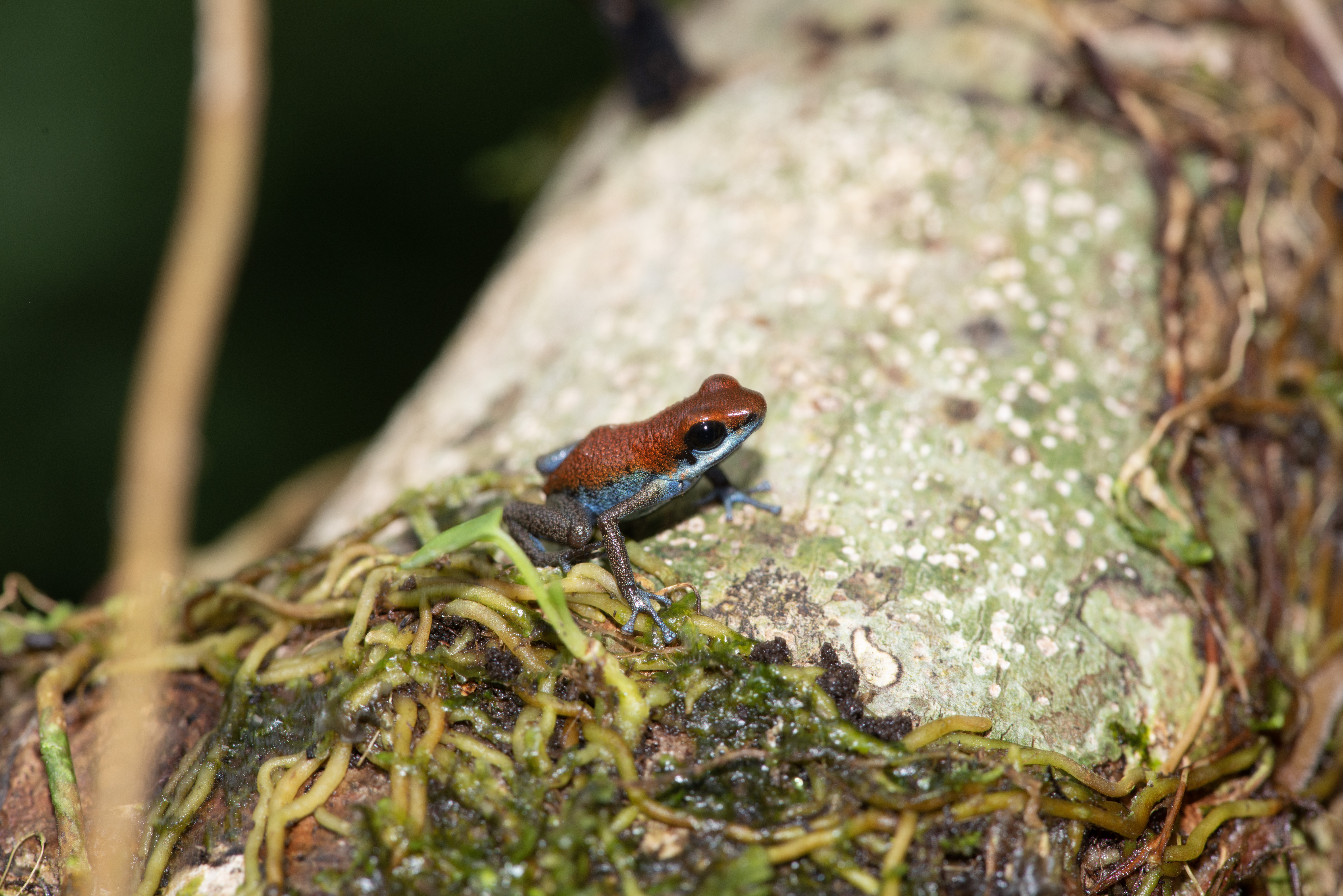
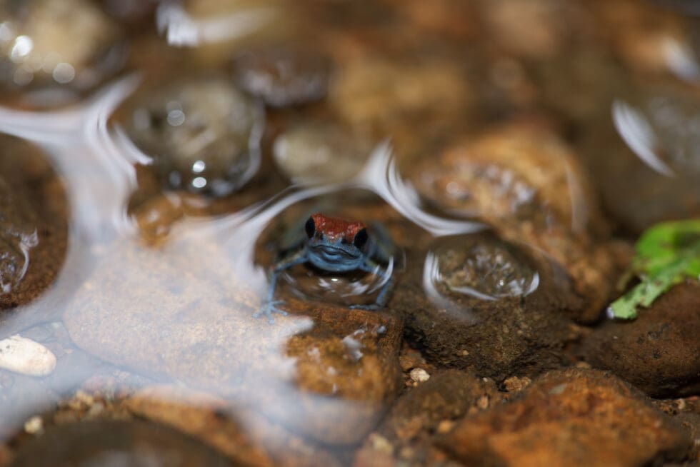
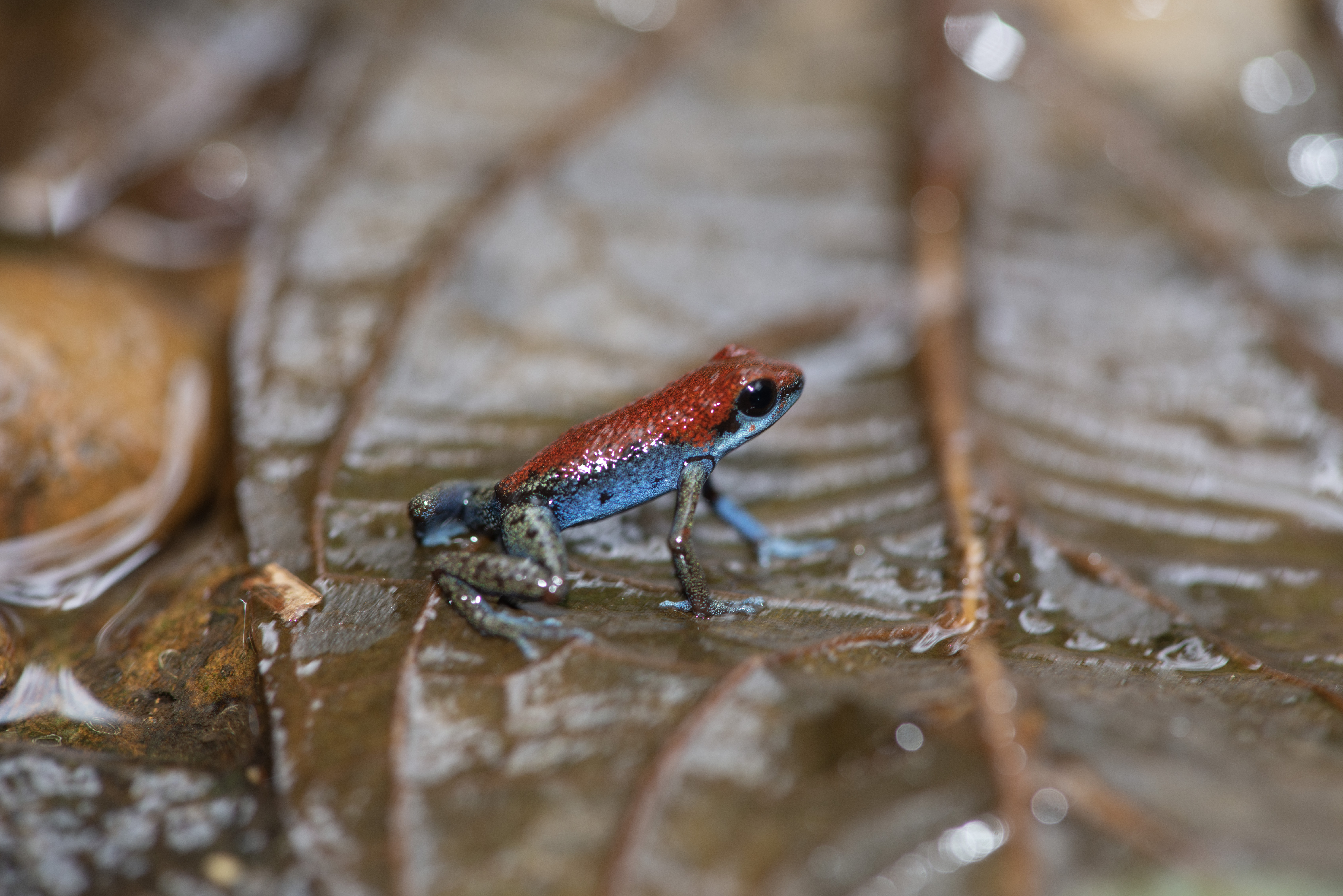
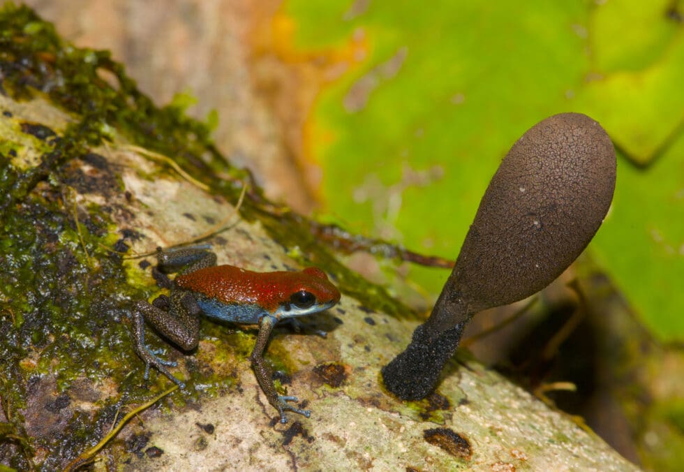
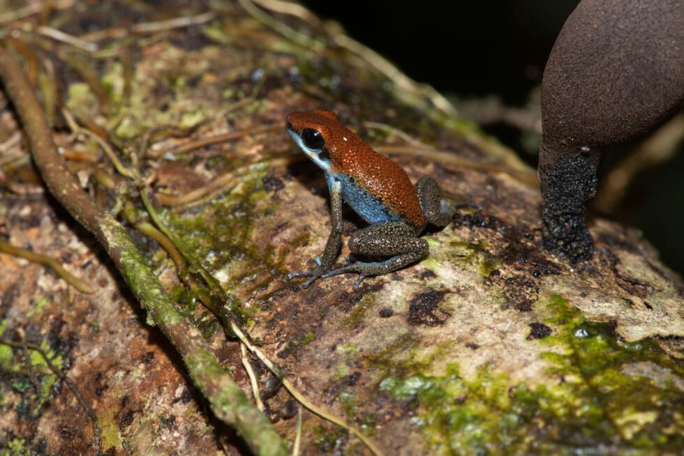
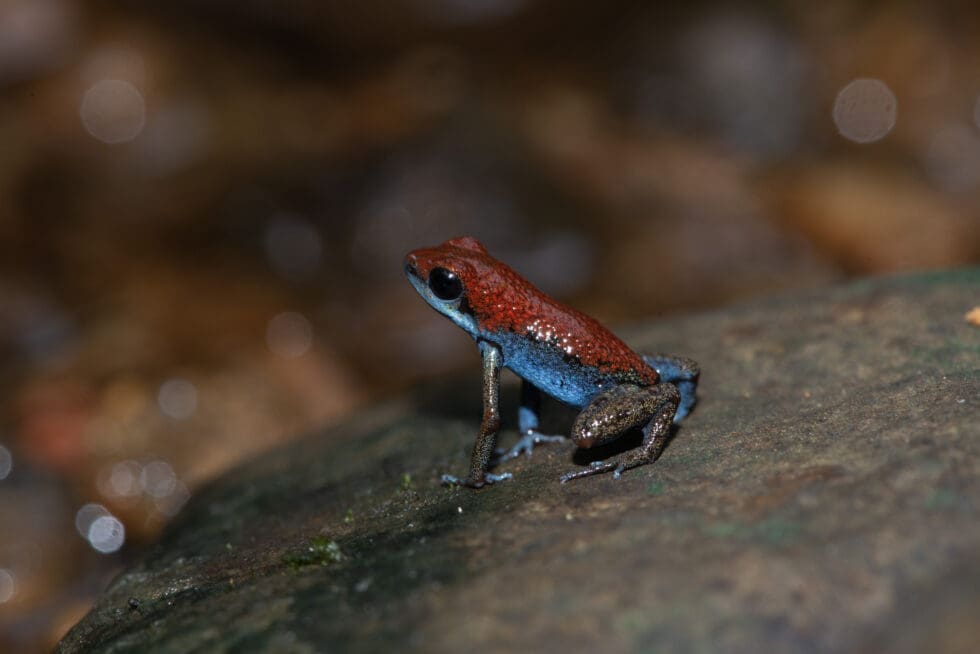
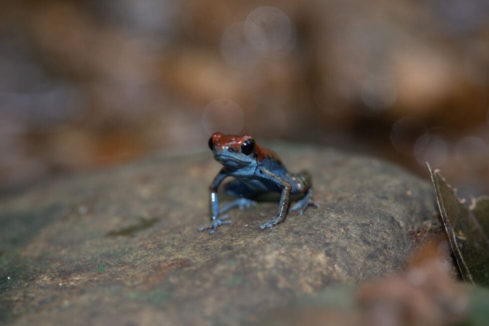
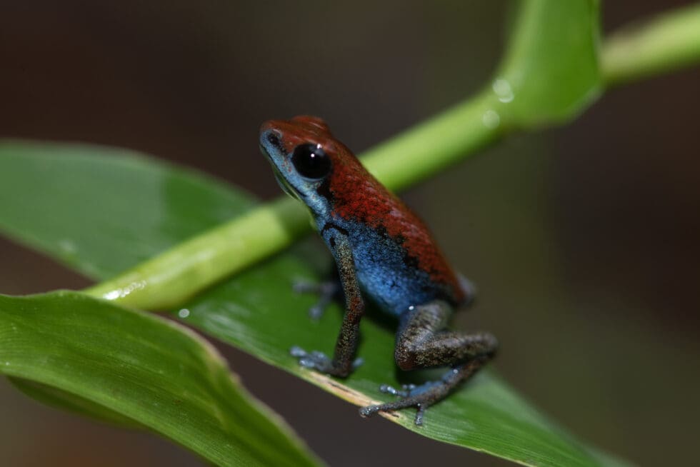
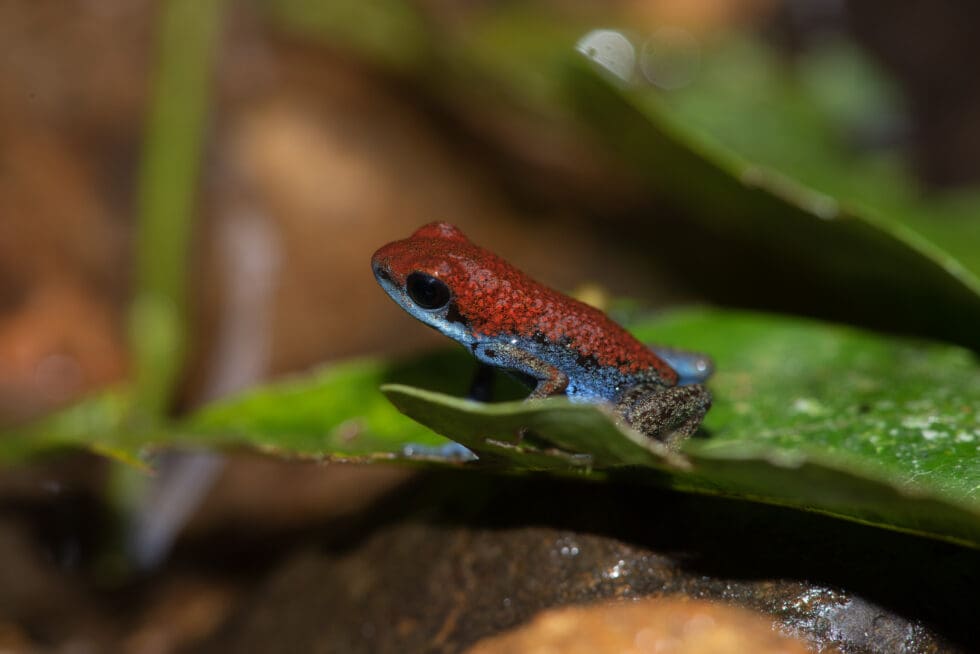
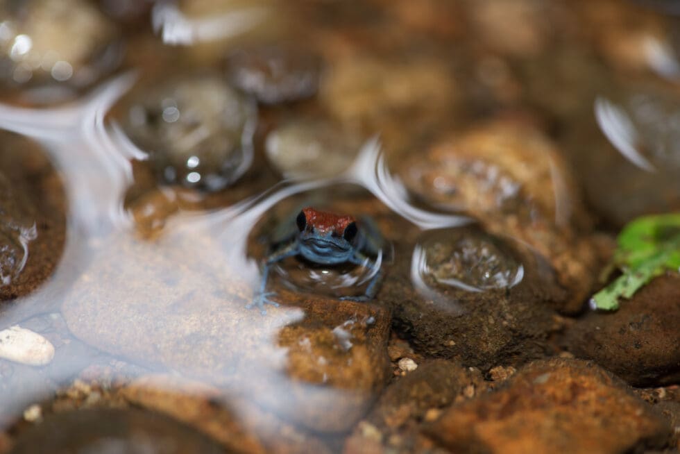
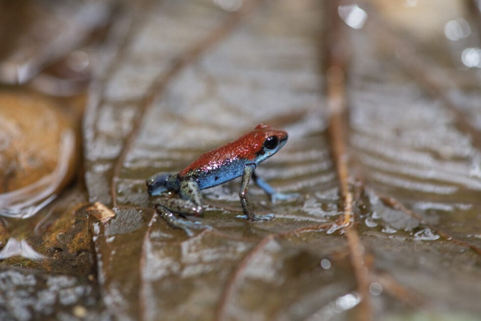
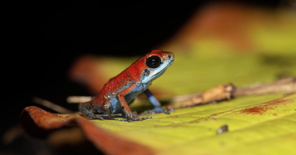
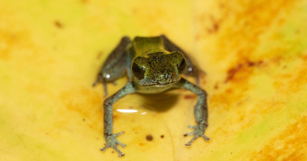
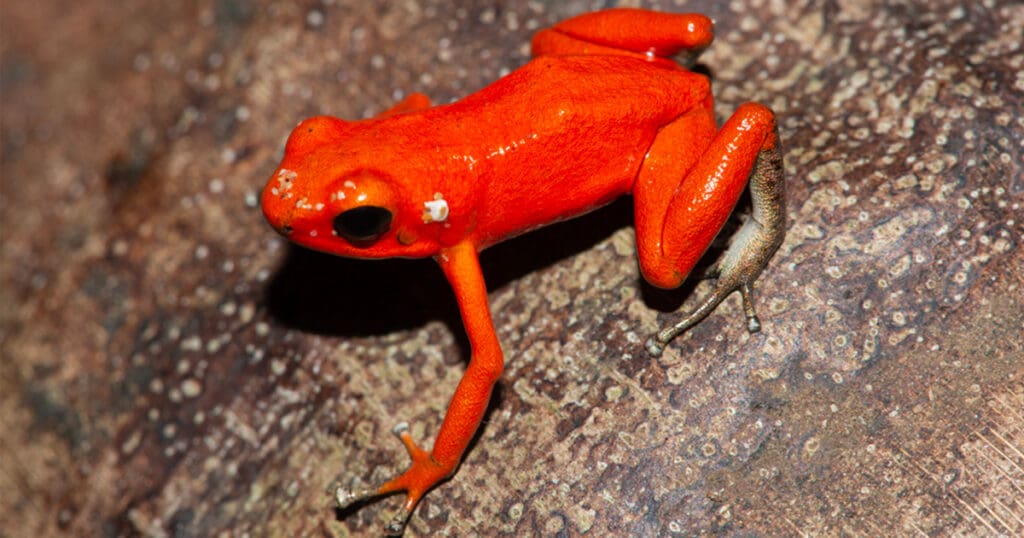
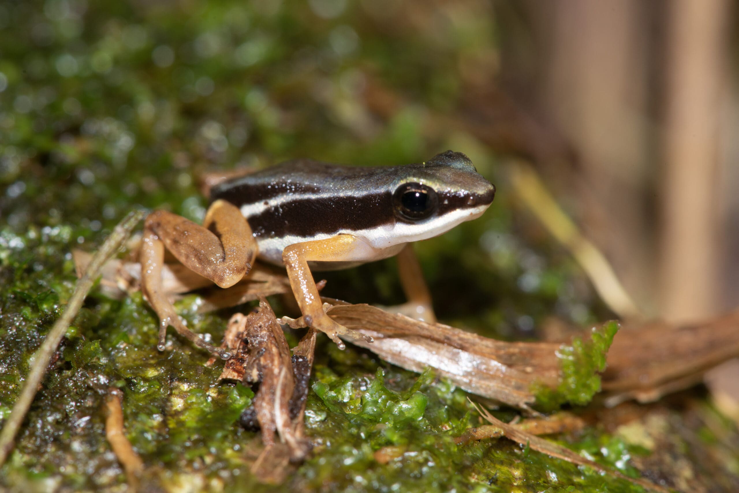
Once past the mangroves, the tropical rain forest takes over, and the river meanders through a cathedral-like forest with bromeliads covered trees draped with lianas and leafy vines. After a few kilometres upstream, it became impossible to navigate the small boat any further and the team disembarked along a small side stream to explore the area further on foot. By the lack of paths, the stream was followed through the water uphill to a waterfall with a sloped dense forest on both sides. Once the noise of the waterfall faded in the distance the calls of Oophaga pumilio could be heard throughout the forest. In the meantime it started raining again, the sound of the rain falling on the leaves and the many male frogs calling was the only sound that could be heard. Many frogs emerged and could be found communicating on top of the leaf litter around and between the buttresses of the suicide trees in the forest. This morph on the mainland is very similar to the one found on Isla Escudo de Veraguas, although the skin was much more granular than the population on the island. After a refreshing dive in the stream near the waterfall, theteam headed back to the basecamp research vessel late in the afternoon. Although it didn’t stop raining, there was finally a chance to secure all data, footage and images on the hard drives to make space on the memory cards for the next field trip.

Emmanuel Van Heygen

Panama Journals
Isla Bastimentos
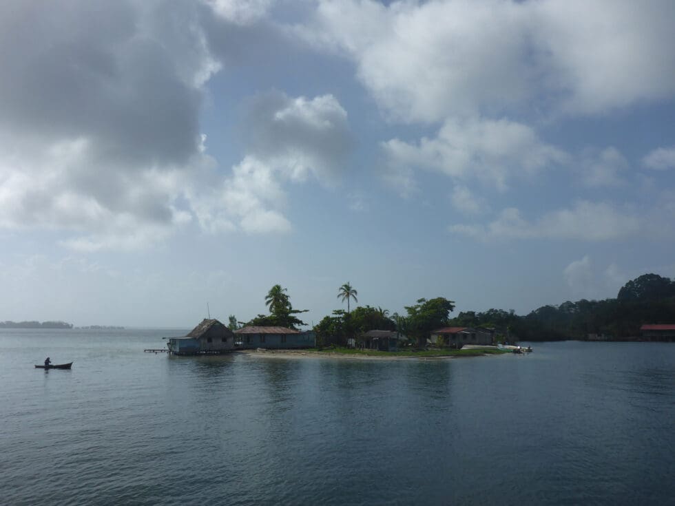
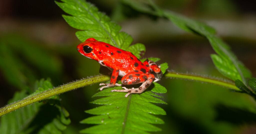
The island was named by Christopher Columbus who landed here in 1502 and called the island Bastimentos which means “provisions” – as the island was used to restock supplies for his fleet. The north eastern side of Bastimentos Island faces the Caribbean Sea where all the beaches can be found. The most famous is Red Frog Beach, which got its name from the red Oophaga pumilo morph that inhabits the forest near the beach. The island’s south western side is lined with dense, lush mangroves and enjoys calmer waters, partially due to the water’s shallow depths. The Exo Terra research vessel anchored near Red Frog Marina between Isla Bastimentos and Isla Solarte.
Isla Colon
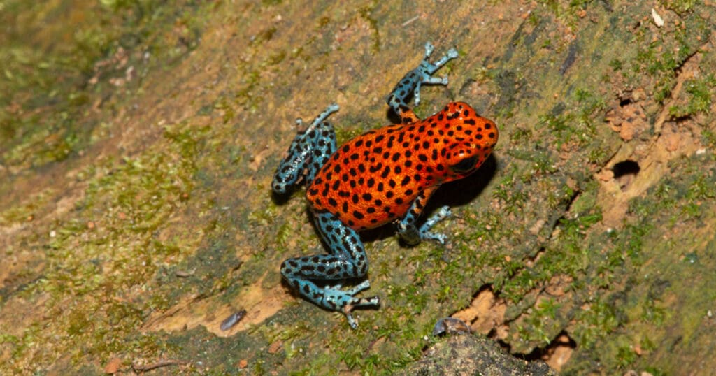
San Cristobal is one of the larger islands with a limited human population which is scattered throughout the island and in a couple of small communities. The island’s forests are fragmented. The Exo Terra team sailed with the research vessel to the northern tip of the island where there is easy access to the degraded and primary forests. Oophaga pumilio was almost immediately located, even in the degraded forest patches at the edge of the banana plantations. This population was primarily observed on the forest floor near tree bases. The frogs at San Cristobal are extremely variable, with a red to orange dorsal colouration and blue legs. Some are dotted, while others are patternless.
Isla Escudo de Veraguas
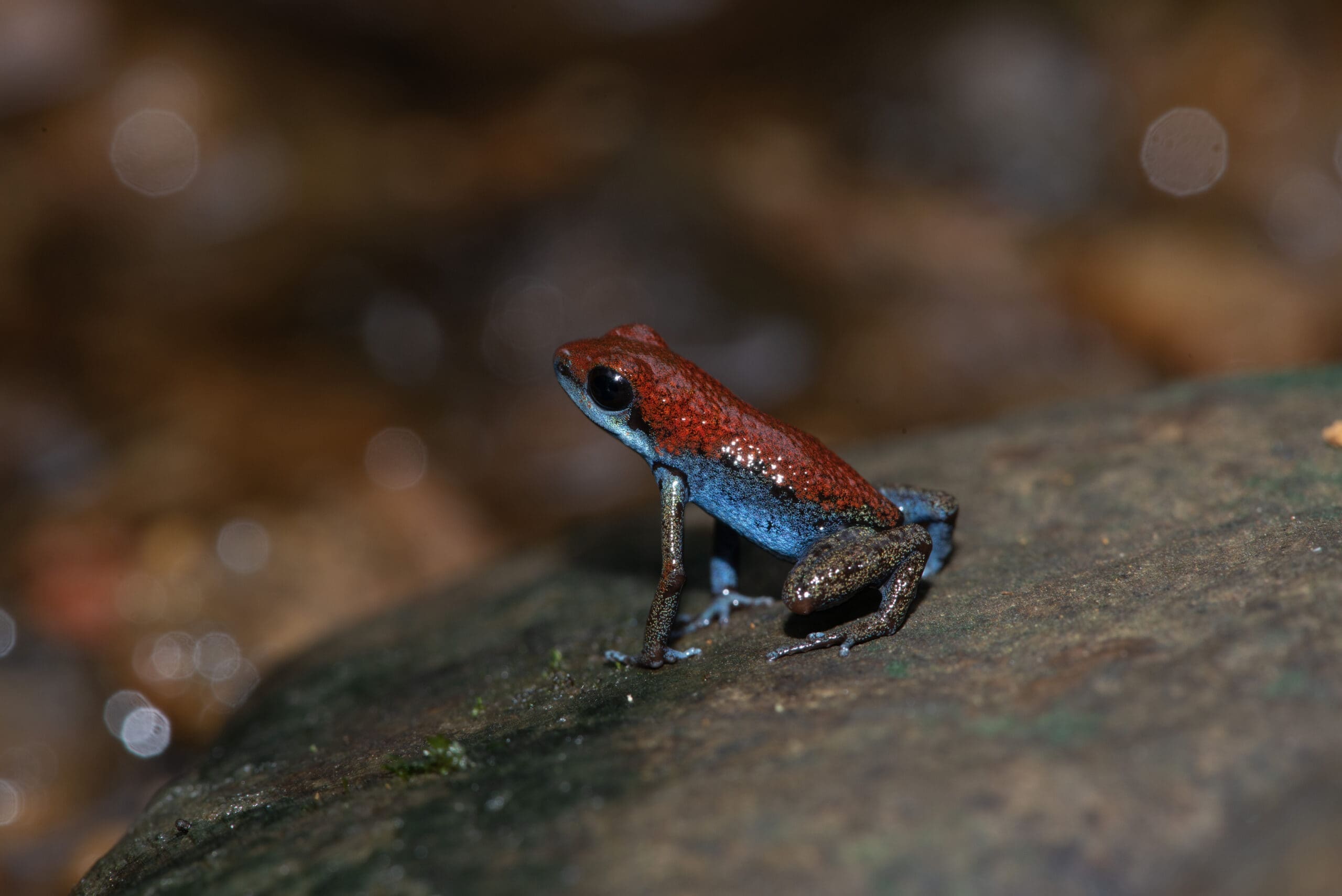
The first destination was the remote Isla Escudo de Veraguas, a small isolated Caribbean island of about 4 square kilometres. It is part of the Bocas del Toro district and located about 20 km from the coastline in the Golfo de los Mosquitos. Because of its 9000 years of isolation, several animals found here are endemic or distinct from their mainland counterparts. It took the team about 9 hours of rough seas in the pouring rain and strong winds to reach this uninhabited island. The most challenging part was to get ashore with the smaller boat due to the extreme surf and strong currents, even on the most protected southern coast of the island. Once on land the rough journey was quickly forgotten due to the sheer beauty of this island, and the Exo Terra team was immediately greeted by several brown basilisks (Basiliscus vittatus). These lizards, also commonly referred to as the striped basilisks, occur from Mexico to northwestern Colombia. The brown basilisk has large hind feet with flaps of skin between each toe. They move quickly across the water, aided by their web-like feet, which gives them the appearance of “walking on water”. Once entering the rainforest, it became clear that the ability of Basiliscus vittatus to “walk on water” is a great advantage. The interior of the island consists of a peat swamp forest. A type of tropical moist forest where waterlogged soil prevents dead leaves from fully decomposing. Over time, this creates a thick layer of acidic peat. This peat is covered with stained dark brown water caused by the tannins that leach from the fallen leaves and peat. A drone flight later on showed that almost the entire island is covered by such a swamp forest, making it nearly impenetrable. The team had great difficulties moving around as there are no dry paths and with every step they sunk up above the knee and higher into the acidic peat. The only “dry” patches were around the bigger trees and between the roots of the fig trees. That is where the most spectacular Oohaga pumilio morph can be found. The animals are so contrasting and conspicuous that they easily can be located without the help of a calling male Biotope on Colon to reveal their location. The high water in the swamp and the continuous rains made it almost impossible to move around and prevented the Exo Terra team from penetrating deep inland. As a result very few other animals were observed, besides the occasional anole on tree trunks or low hanging lianas. One exciting find was the eyelash viper (Bothriechis schlegelii) on one of the many raffia palms. The eyelash viper is a venomous pit viper found throughout Central and South America. It is a small and arboreal species, characterised by a wide array of colour variations, as well as the superciliary scales above the eyes. The severe weather conditions forced the team to be picked up early from the shore as the surf increased significantly due to the strong winds. Some team members even had to swim back to the research vessel as the small boat was only able to pick up the camera and logging gear. A scary adventure by itself! Unfortunately the weather conditions didn’t improve overnight, and the vessel was forced to leave this amazing island.
Isla Loma Partida
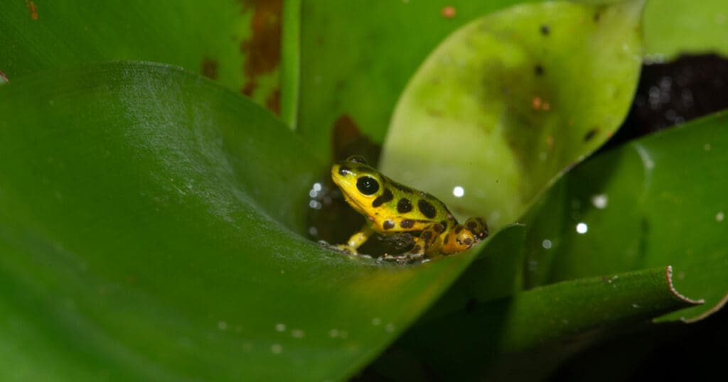
Unfortunately weather conditions didn’t improve during the night and when the expedition set course to Cayo Agua it became clear that landing on this island would be extremely difficult. Cayo Agua is one of the most western islands of the Bocas del Torro archipelago and immediately exposed to the high seas of the Caribbean See. Although an interesting morph of Oophaga pumilio with yellows and whites can be found there, the team had no choice but to sail deeper into the Chiriqui Lagoon for protection.
Isla Popa
Isla Popa is the second-largest island of the Bocas del Toro archipelago and lies less than 200 m from the mainland. Although most of the island is low-lying—below 100 m elevation—the topography is rugged, with deep ravines and several small, permanent streams.
The vegetation is dominated by humid forests, while the coastal areas consist of mangrove swamps, sedge marshes and grass-covered hills. Extensive thickets cover the forest edges and the many bananas and plantain plantations.
Isla San Cristobal
San Cristobal is one of the larger islands with a limited human population which is scattered throughout the island and in a couple of small communities. The island’s forests are fragmented. The Exo Terra team sailed with the research vessel to the northern tip of the island where there is easy access to the degraded and primary forests. Oophaga pumilio was almost immediately located, even in the degraded forest patches at the edge of the banana plantations.
Isla Solarte
The island Solarte is a medium sized island south of the much larger Isla Bastimentos. The island has a limited population mainly living in small communities along the coast. Its southern coast is lined with mangroves and multiple mangrove islets, making it difficult to land. But once on the island and past the mangroves, the primary forest takes over. Solarte is dominated by primary lowland rainforest that consists of large emergent trees such as Fig trees (Ficus sp.) and Almendro trees (Dipteryx oleifera). Understory growth is relatively sparse with the majority of undergrowth consisting of Dieffenbachia, Calathea, small palms and Heliconia. It is on the undergrowth that this population of Oophaga pumilio is found, on or near tree bases. The frogs were never located directly in or on leaf litter as they used branches and roots to travel across the ground.
Isla Tierra Oscura
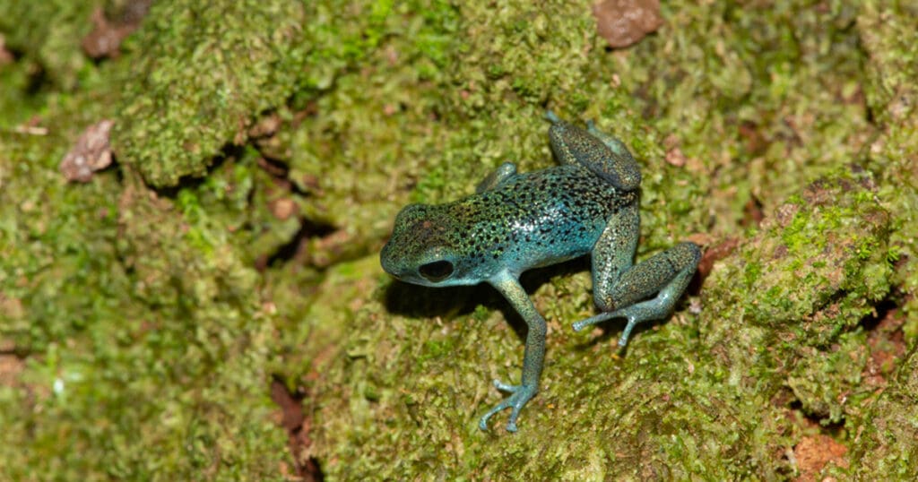
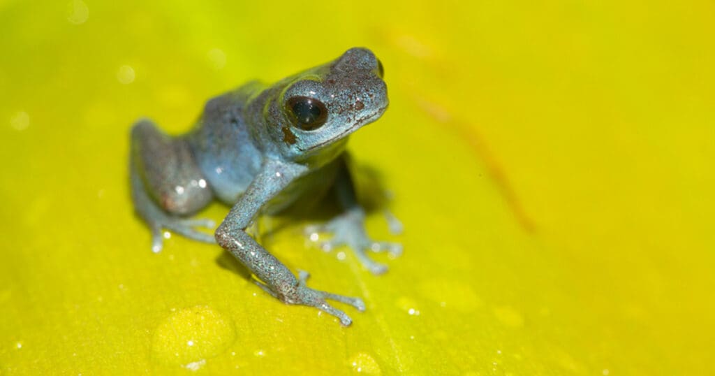
Part of the mainland, the Tierra Oscura peninsula has steeper slopes with large patches of primary and degraded forest. The coastline is fringed with mangroves, pastures and waterfront settlements, and the remaining forests are in the higher regions of the peninsula. It is only separated by a narrow canal from Isla Loma Partida, but its forests nevertheless house a very conspicuous blue morph of Ophaga pumilio. Besides some small black dots on the back and hind legs in some animals, these frogs are entirely blue, with a cobalt blue belly.
